Barcaldine-Aramac Road, rehabilitate and widen pavement
The Barcaldine-Aramac Road is undergoing upgrades with an additional 5km being widened to improve travel conditions.
This road is an important transport link for the cattle and agriculture industries and provides access to Townsville and other major centres in northern Queensland.
A works program of 5 separate projects executed from 2021 to 2023 has previously seen over 26km of this road broadened to a contemporary standard width of 8m.
This latest phase of work will further improve safety and travel times for everyone who depends on this important transport link.
Benefits
- Improves safety
- Increases capacity
- Improves network efficiency
- Improves flood immunity
- Reduces travel time
- Contributes to economy
- Contributes to regional growth
- Reduces maintenance
Key features
- Widen and seal 5km of narrow sections to 8m.
- Improves safety.
- Improves travel times.
- Improves wet weather access.
- Provides additional overtaking opportunities.
Funding
The 2 projects are funded separately:
Barcaldine-Aramac Road (Section 1), rehabilitate and widen pavement - $2.377 million. Fully funded by the Queensland Government. Investment ID 2109074
Barcaldine-Aramac Road (Section 2), pavement rehabilitation - $3.022 million. Fully funded by the Queensland Government. Investment ID 2983865
- Total investment
- $5.399 million
- Queensland Government
- $5.399 million
Current status
The projects are being delivered collectively by local crews from Barcaldine Regional Council. Works commenced in June 2024 with overall completion expected late 2024.
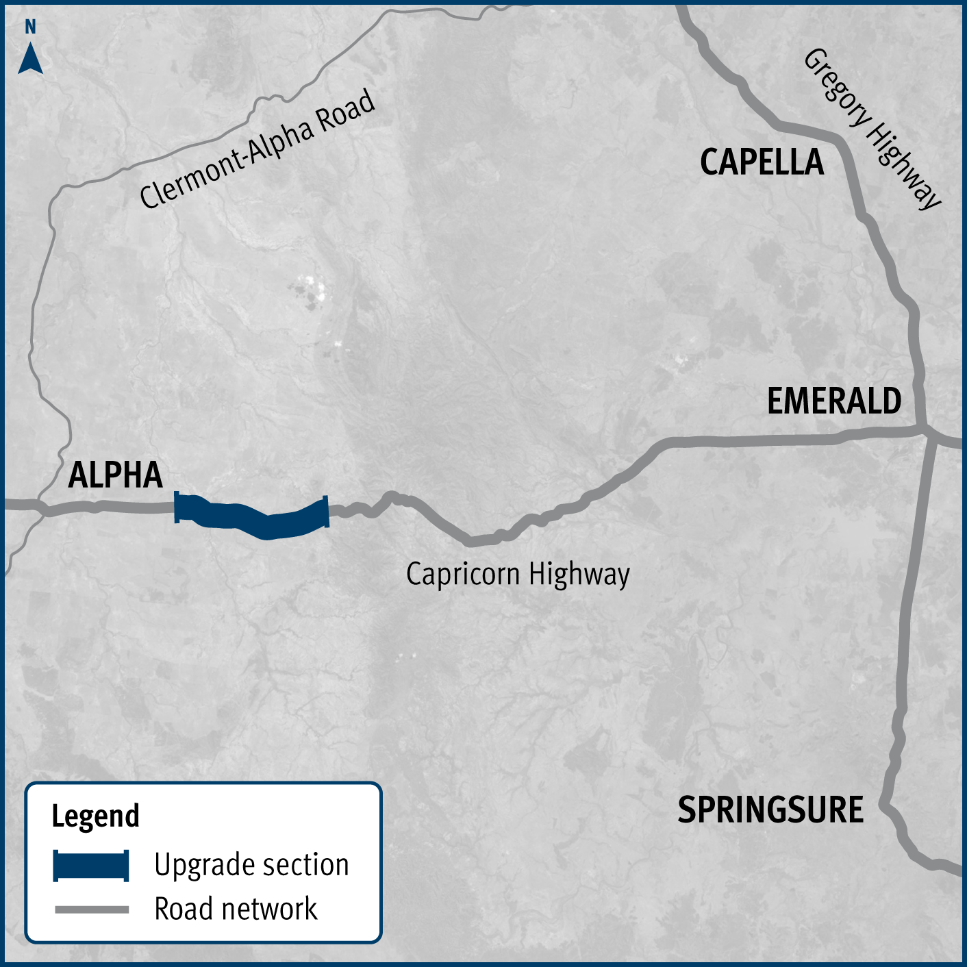
Barcaldine-Aramac Road, rehabilitate and widen pavement project location map

The map shows the location of two projects being delivered on the Barcaldine-Aramac Road. The road is located between the townships of Barcaldine and Aramac in western Queensland, with the projects located about 25km north of Barcaldine. Project location 1 is shown by a solid blue line. Project location 2 is shown by an orange line with a broken blue line in the centre. Additionally, the map includes the supporting state-controlled road network, featuring the Landsborough Highway and Ilfracombe-Aramac Road.


