Showing results 21-30 of 34

Sort results
Sort results
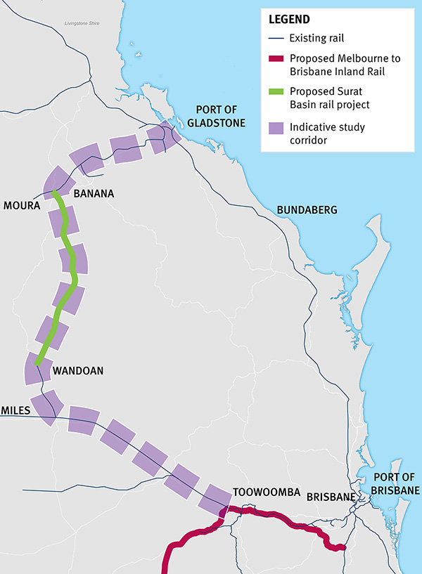
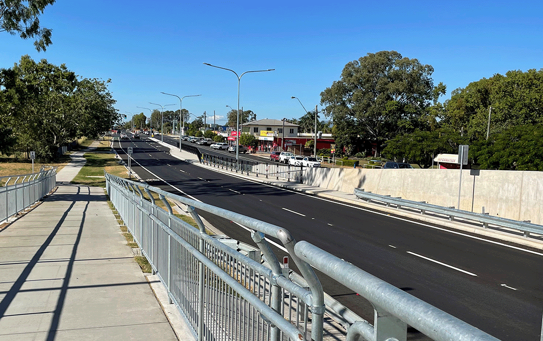
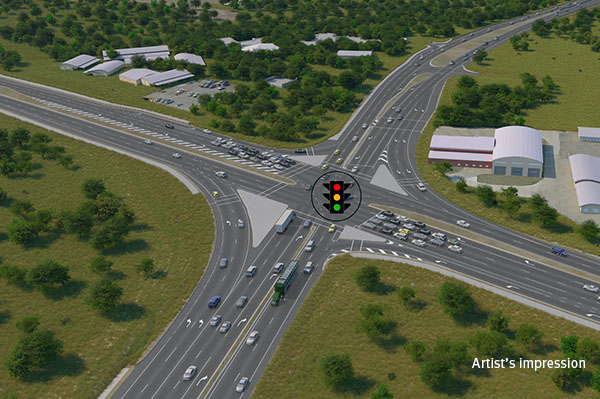
  1. Bruce Highway (Mackay – Proserpine), Knobels Road, upgrade intersection and approaches

    Safety upgrade on the Bruce Highway at the intersection of Knobels Road and Nebia Coningsby Road, north of Mackay is being delivered to improve the safety and visibility of this section of the highway...

    No image supplied
  2. Toowoomba to Gladstone Inland Rail Extension Business Case

    The Australian and Queensland Governments are working together to deliver the Toowoomba to Gladstone Inland Rail Extension Business Case...

    Thumbnail image showing map of project area for proposed extension for Inland Rail from Toowoomba to Gladstone
  3. Cramsie-Muttaburra Road, rehabilitate and widen pavement

    This project will widen and rehabilitate a 3km section of aged, narrow pavement on the Cramsie-Muttaburra Road to a width of 8m, improving safety, overtaking opportunities and travel times...

    The map shows the location of rehabilitation and widening works underway on a three kilometre section of the Cramsie-Muttaburra Road. The road is situated between Longreach and Muttaburra in Central West Queensland. The map shows the proximity of the works to the Longreach township and includes the surrounding road network, such as the Landsborough Highway and local government-owned Longreach-Muttaburra Road.
  4. Access to Gladstone Port project

    The project will provide an alternate route for heavy vehicles accessing the Port of Gladstone to increase freight efficiency and improve safety for motorists by easing the impact of trucks travelling...

    No image supplied
  5. Yeppoon Road Upgrade Project Frequently Asked Questions

    General Where is Rockhampton-Yeppoon Road? Rockhampton-Yeppoon Road is a regional road linking the Capricorn Coast to Rockhampton and the Bruce Highway. It also forms part of the designated State...

  6. Proserpine – Shute Harbour Road, Hamilton Plains, flood immunity upgrade

    Proserpine – Shute Harbour Road will benefit from a $21 million flood immunity upgrade at Hamilton Plains between the Bruce Highway turn-off and Strathdickie Road...

  7. Long-distance passenger rail business case

    We are preparing a business case to replace the rollingstock on the long distance passenger rail fleet that services western regional Queensland...

    No image supplied
  8. Richmond-Winton Road, pave and seal

    Another 3km of the road is being sealed to improve safety and travel times on this key transport link...

    The map shows the locality of three separate projects on the Richmond-Winton Road delivered as part of a progressive approach to sealing this road. The road is located between Richmond and Winton in western Queensland, with the three projects closest to Winton. Project location 1 is shown by a solid blue line. Project location 2 is shown by a green line with a broken blue line in the centre. Project location 3 is shown by an orange line with a blue line in the centre. The surrounding road network, including the Landsborough Highway and local government owned Corfield-Richmond Road are also shown on the map.
  9. Gavial - Gracemere Road (Lawrie Street), widen to four lanes and upgrade intersections

    The Lawrie Street Upgrade project will deliver an upgrade of Lawrie Street, Gracemere from 2 to 4 lanes, between the McLaughlin Street intersection with the Capricorn Highway and John Street/Russell...

    Gavial - Gracemere Road (Lawrie Street) upgrade completed
  10. Rockhampton Ring Road

    The Rockhampton Ring Road is a major infrastructure project within the Central Queensland region...