Mackay – Bucasia Road, capacity upgrades and duplication planning
Planning is underway to identify potential future upgrades to Mackay – Bucasia Road to improve congestion, safety, and flooding impacts on this vital link to the Northern Beaches.
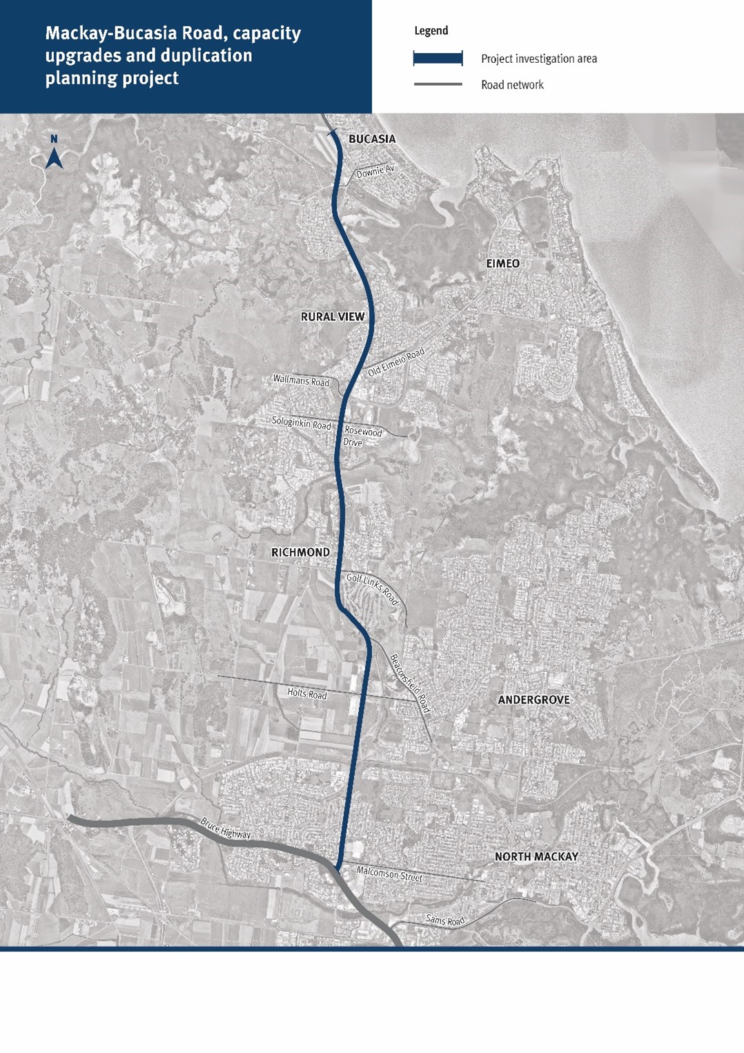
Mackay – Bucasia Road is the sole link connecting the Northern Beaches communities to the Mackay region.
Mackay – Bucasia Road is a key commuter and freight corridor route to employment, goods, services and schools in Mackay. The 11-kilometre road connects from the Bruce Highway in North Mackay, and is the only access route to Rural View, Bucasia, Eimeo, Blacks Beach and Shoal Point.
Benefits
- Improves safety
- Increases capacity
- Improves network efficiency
- Increases traffic flow
- Reduces peak hour congestion
- Reduces interchange queuing
- Improves flood immunity
- Better road access
- Reduces travel time
Key features
The scope of works in the planning phase includes activities such as business case development and associated stakeholder engagement.
The investigation will include:
- engagement with the local community to provide input into their experiences and concerns as users of the road
- identification of key congestion points to address improvements to road capacity
- identification of key areas for improvements to safety and flood mitigation
Funding
This is fully funded by the Queensland Government as part of the Transport System Planning Program. QTRIP Investment ID 1816614
- Total investment
- $750,000
- Queensland Government
- $750,000
Current status
The department is undertaking planning to identify the highest priority sections of Mackay-Bucasia Road for future upgrades.
As part of the planning phase, we are developing a business case to assess and recommend delivery options. Once planning is completed, funding and project timelines can be determined.
Community consultation closed on 23 August 2023.
Project map