Bruce Highway (Innisfail - Cairns), Innisfail Bypass, plan and preserve corridor
A planning study is currently being undertaken to identify and preserve a corridor for a future bypass of Innisfail...
A planning study is currently being undertaken to identify and preserve a corridor for a future bypass of Innisfail...

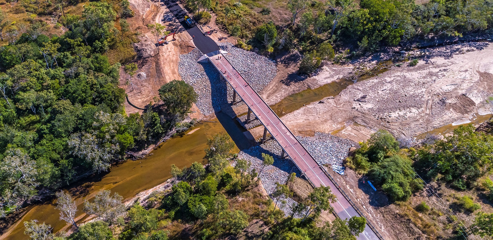
A new upstream bridge will be constructed over Ross River in Townsville adjacent to the existing Bowen Road Bridge...
Construction started in June 2021 and was completed in early October 2023...
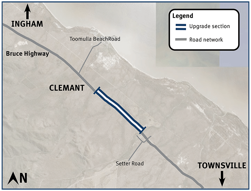
Bruce Highway safety upgrades at Clemant...
Bruce Highway (Townsville-Ingham) upgrade program...
We are reconnecting communities and supporting regional economic recovery after disaster events damaged the state-controlled road network in 2020, 2021 and 2022...
Safety upgrades will be carried out at various locations along Douglas – Garbutt Road...
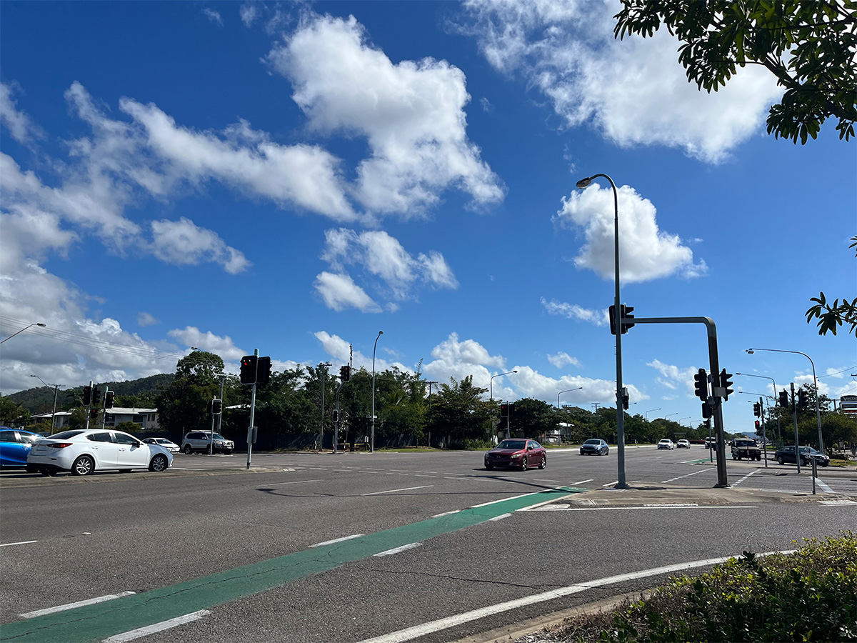
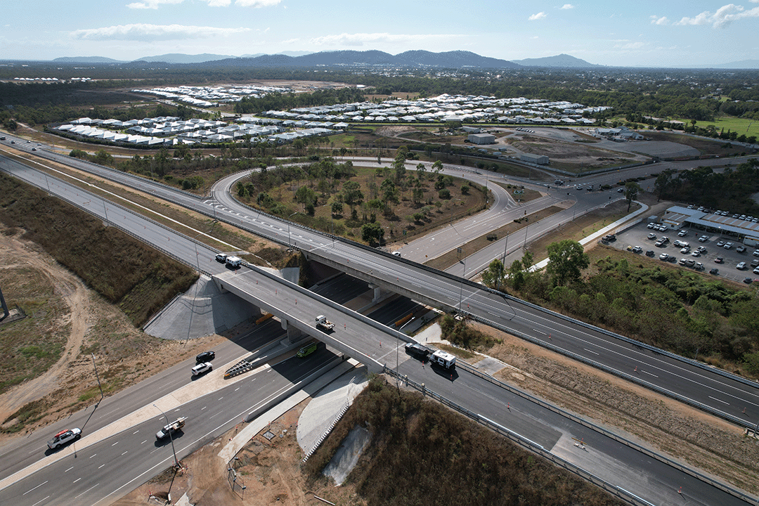
We are upgrading Townsville Connection Road to dual lanes between University Road and Bowen Road Bridge...
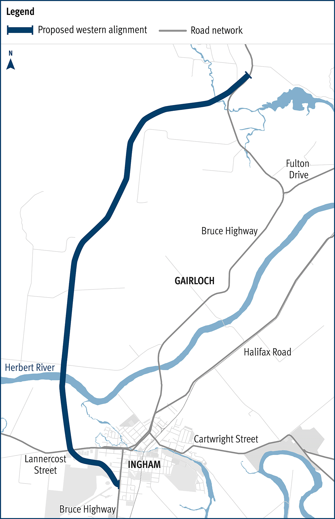
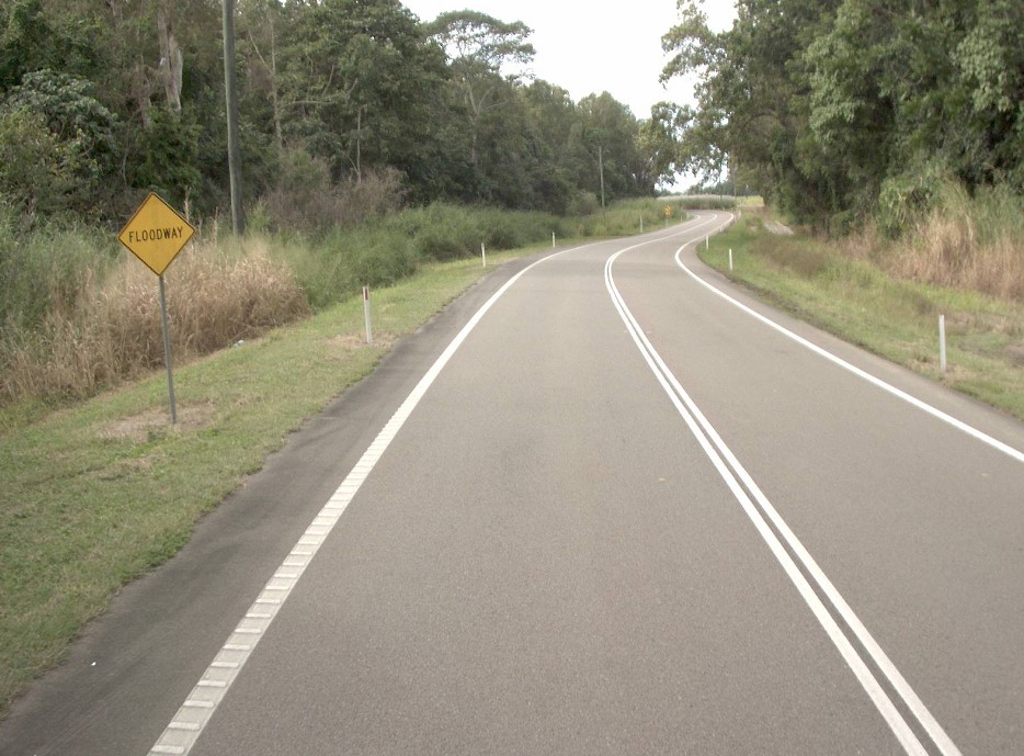
Planning has commenced to improve safety and reduce the time of closure due to flooding on a complex section of the Bruce Highway at the Gairloch floodway, 5km north of Ingham...
The department has been actively working with the community to address the challenges associated with the Bruce Highway from South of Ingham to the Cardwell Range...