Showing results 1-10 of 22

Sort results
Sort results
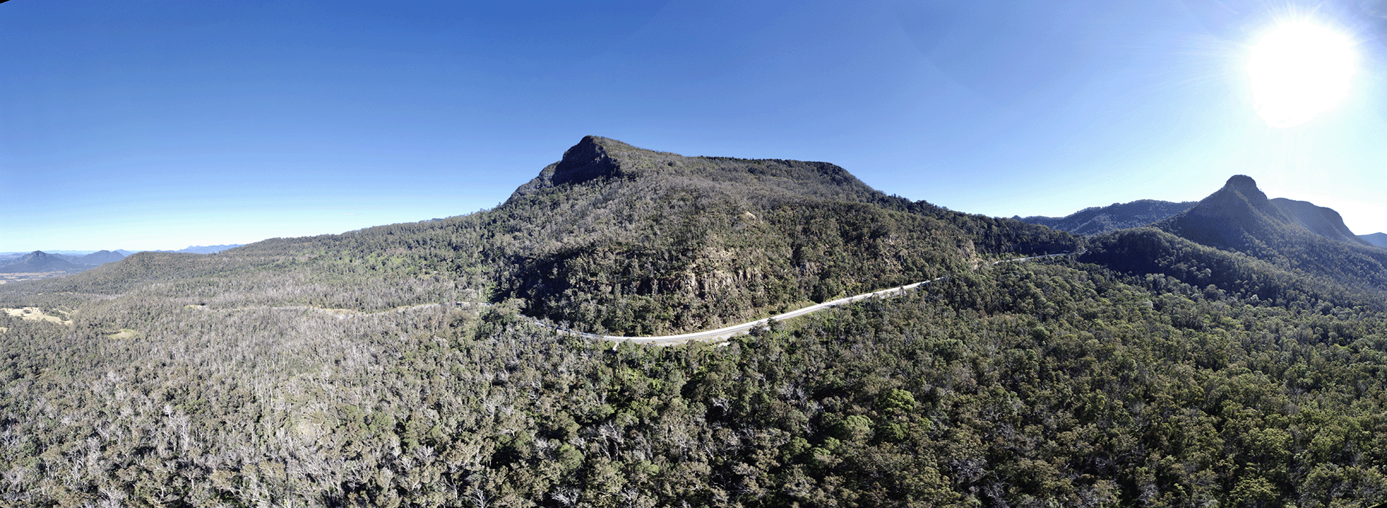
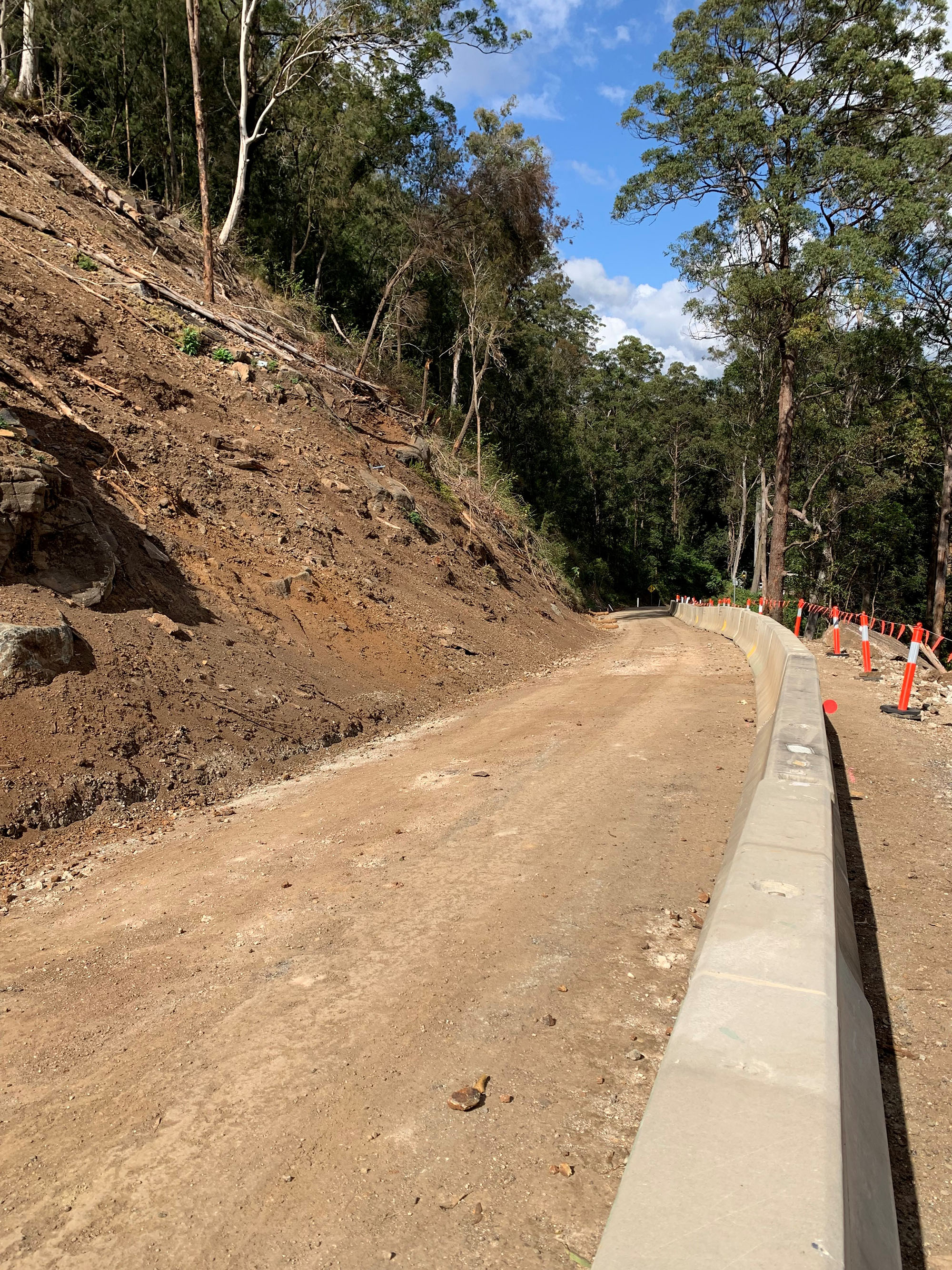
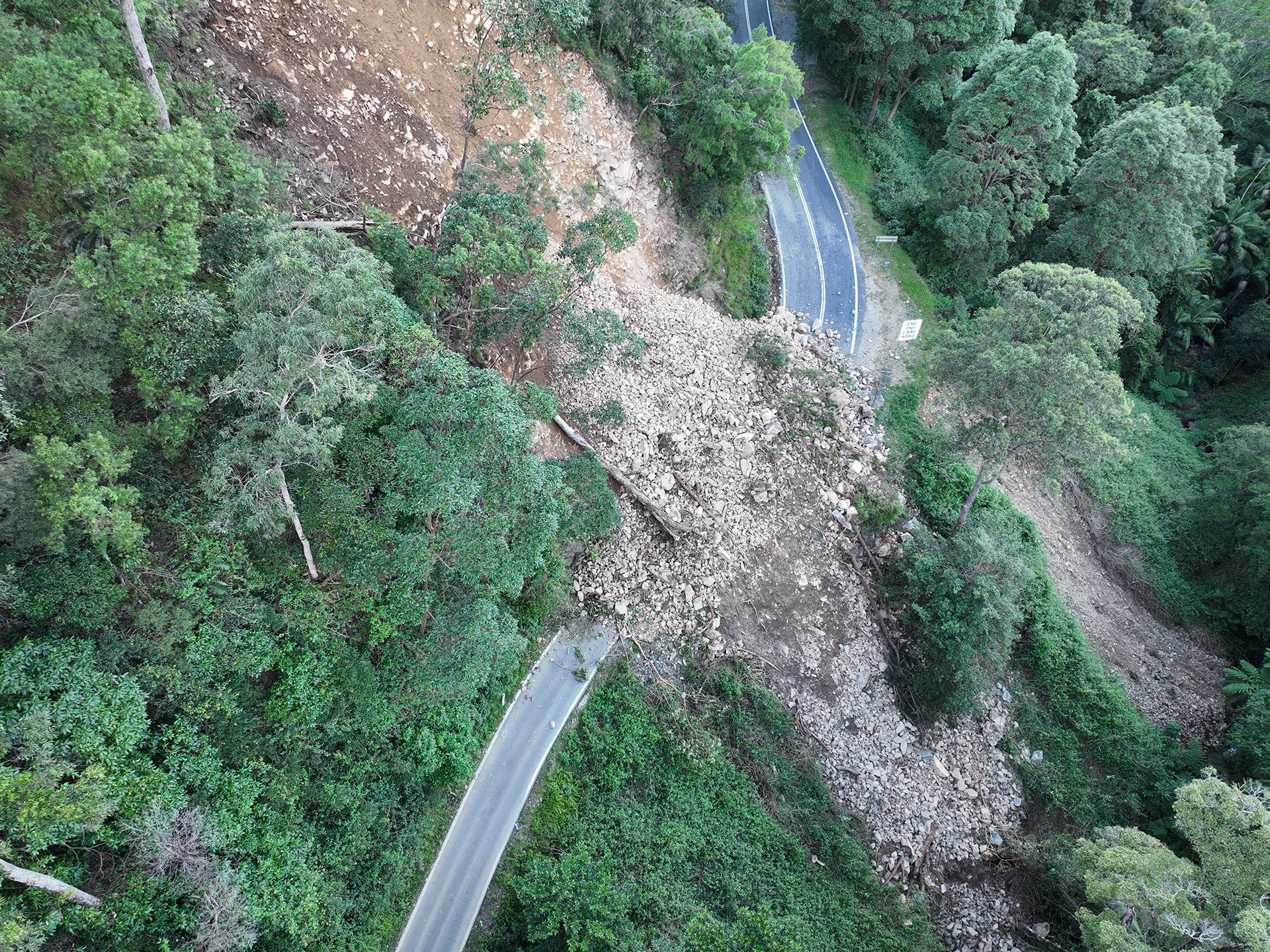
  1. Cunningham Highway (Ipswich – Warwick), 2020 Disaster Recovery Funding Arrangements reconstruction works

    Following extensive damage from the Southern Queensland bushfires at Cunninghams Gap in November and December 2019, TMR is working to restore pre-bushfire functionality to the Cunningham Highway at...

    Aerial image of Cunningham Highway at Cunninghams Gap
  2. Pacific Motorway M1 Varsity Lakes to Tugun upgrade

    The $1 billion Pacific Motorway Varsity Lakes to Tugun (VL2T) project is being delivered to upgrade 10 kilometres of the M1...

  3. Gold Coast Light Rail (Stage 3) Broadbeach South to Burleigh Heads, construct light rail

    Gold Coast Light Rail Stage 3 will deliver a further 8 stations and relieve congestion in some of the Gold Coast's busiest traffic areas...

    Gold Coast Light Rail Tram with 'Burleigh' destination
  4. Pacific Motorway M1 Burleigh to Palm Beach (Nineteenth Avenue)

    The M1 between Burleigh and Palm Beach (Package B) is being upgraded as part of the VL2T upgrade and will include significant environmental features through this sensitive section of the upgrade...

    Pacific Motorway M1 Burleigh to Palm Beach Nineteenth Avenue Exit 89 Tallebudgera interchange
  5. South Coast 2020–21 flood reconstruction works

    Following severe weather events, including the South East Queensland Coastal Trough in December 2020 and the Southern Queensland Severe Weather event in March 2021, more than 20 roads were damaged...

    An unpaved road between a mountain and bollards
  6. Gold Coast-Springbrook Road, Disaster Recovery Funding Arrangements reconstruction works

    The department is working to reconstruct a section of Gold Coast-Springbrook Road which sustained significant damage during extreme rainfall and flooding events from 22 February to 20 May 2022...

    Aerial view of Gold Coast-Springbrook Road major slip site
  7. Coomera Connector (Stage 1)

    The Coomera Connector is a future state-controlled north-south corridor between Loganholme and Nerang, east of the Pacific Motorway (M1)...

    Artist's impression of a road crossing a river
  8. Natural Disaster Program

    We are reconnecting communities and supporting regional economic recovery after disaster events damaged the state-controlled road network in 2020, 2021 and 2022...

    Aerial view of Alice River Bridge (completed)
  9. Tallebudgera Connection Road Koala Zone Trial

    A dedicated Kola Zone, with wildlife signage and speed reduction trial on Tallebudgera Connection Road will take place between July 2023 and January 2024...

    No image supplied
  10. Beaudesert – Nerang Road and Yalkuri Drive, upgrade intersection

    The Department of Transport and Main Roads will be improving the safety and efficiency of the Beaudesert–Nerang Road, Yalkuri Drive and Willawong Crescent intersection at Nerang...

    The map shows the locality of the proposed Beaudesert-Nerang Road, Yalkuri Drive and Willawong Crescent intersection upgrade. Beaudesert is located to the west and Nerang to the east of the project location. A solid dark blue line indicates the project extent, which encompasses Yalkuri Drive south of the intersection and Willawong Crescent north of the intersection, as well as Beaudesert–Nerang Road, which is located west and east of the intersection. The local road network, Riverlea Waters Drive is also highlighted on the map.
Previous Page (disabled)
  1. Page 1
  2. Page 2
  3. Page 3