
Mount Lindesay Highway (Brisbane - Beaudesert), Johanna Street to South Street (Jimboomba), duplication
The Mount Lindesay Highway at Jimboomba will be upgraded to improve safety, reduce congestion and improve shared path connectivity.
Procurement
The Mount Lindesay Highway at Jimboomba will be upgraded to improve safety, reduce congestion and improve shared path connectivity.
ProcurementThe Mount Lindesay Highway is being upgraded to improve safety and efficiency.
The Mount Lindesay Highway is one of Queensland's busiest highways. Currently there are between 25,000 and 45,000 vehicles per day using sections of the highway between Browns Plains and Jimboomba.
The 10-year strategic plan outlines the priority infrastructure projects for the Mount Lindesay Highway between 2018–2028.
| Upgrade project | Status | Funding |
| Mount Lindesay Highway (Brisbane-Beaudesert), Logan Motorway to Park Ridge Road, Combined Planning | ||
| Logan Motorway to Middle Road | Currently in planning 2023-26 | $1.5 million |
| Green Road/Coronation Road Interchange | Currently in planning 2023-26 | Combined |
| Mount Lindesay Highway (Brisbane-Beaudesert), North Mclean to Jimboomba, Combined Planning | ||
| Greenbank Road to Stockleigh Road | Currently in planning 2023-26 | $2 million |
| Chambers Flat Road to Greenbank Road | Currently in planning 2023-26 | $1 million |
| Stockleigh Road to Camp Cable Road | Currently in planning 2023-26 | $1.1 million |
| Johanna Street to South Street through Jimboomba | Under review | $57.4 million |
| South Street to Cedar Vale Road | Planning beyond 2026 | $1 million |
| Cedar Vale Road to Beaudesert | Planning beyond 2026 | Unfunded |
| Stoney Camp Road to Chambers Flat Road | Delivered 2023 |
$75 million |
| Jimboomba to Beaudesert safety improvements | Delivered 2021-2022 | $17.137 million |
| South Maclean safety improvements | Delivered 2020 |
$14 million |
| Camp Cable Road to Johanna Street, Jimboomba | Delivered 2020 |
$19.6 million |
| Rosia Road to Stoney Camp Road | Delivered 2020 |
$22.4 million |
| North Maclean safety improvements | Delivered 2019 | $20 million |
| Beaudesert Town Centre Bypass | Delivered 2017 | $27.5 million |
| Camp Cable Road intersection | Delivered 2016 | $7 million |
| Millstream Road intersection | Delivered 2015 | $2 million |
To improve safety and reduce congestion the Mount Lindesay Highway is being upgraded as funding becomes available. Find more information:

The department has built a southbound overtaking lane and fauna crossing at Smiths Gap on the Bruce Highway.
The department is progressing a $9 million planning project to plan and protect a suitable road corridor for a future bypass of Innisfail, if required.
The department is progressing a project to upgrade the intersection of the Bruce Highway and Munro Street at Babinda.
This project will provide Intelligent Transport System infrastructure at various locations along the Bruce Highway between Pine River and Cairns.
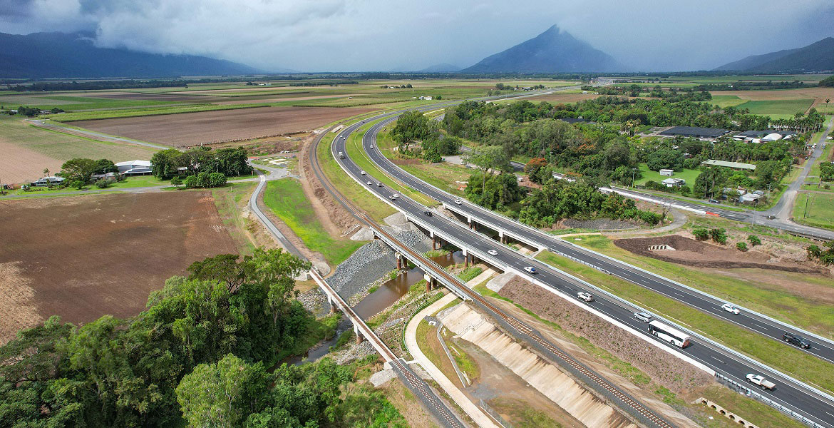
A total transport solution has been delivered to provide long-term improvements to traffic flow and road safety through reducing congestion, highway travel time and improving road access.
Planning for the Bruce Highway, Cairns Southern Access Corridor (Stage 5), Foster Road upgrade intersection project will assess and recommend options to upgrade this intersection.
The Cairns Bruce Highway Upgrade master plan was released in 2010. It was the result of a planning study that investigated long term, multi-modal transport planning options to address the impacts of urban growth, congestion and traffic accidents.

The Department is reinvesting project savings to deliver a new off-road cycleway next to the Bruce Highway, consistent with the Cairns Bruce Highway Upgrade Masterplan. The project will deliver a safe off-road facility for bicycle riders of all abilities, including school children and the active transport community. The new cycleway also delivers a direct and continuous route with limited intersections to encourage bicycle riders to use the off-road facility.
Cairns Transit Network is the first busway planning project of its kind in regional Queensland. It will improve public transport in Cairns by giving buses priority, either in separate bus lanes or on dedicated bus-only lanes (busways) which will be separated from general traffic.
By 2046, the Cairns local government area is expected to increase by approximately 59,000 residents. In addition to the substantial visitor numbers in the region, this significant residential growth will have an impact on the safety, efficiency and accessibility of the Cairns urban transport network.
Taking a holistic approach to the planning of this expected growth will ensure a sustainable, efficient and accessible transport network in the region.
The department is undertaking a $300 million project to duplicate the Cairns Western Arterial Road between Redlynch Connector Road and Captain Cook Highway.
The department has completed a comprehensive planning study into the 4 transport corridors linking Cairns to the Northern Tablelands.
The Cape York Region Package Stage 2 is a program of works to deliver infrastructure upgrades on the Cape York Peninsula between 2019-2020 and 2023-2024.
Master planning is progressing on the Captain Cook Highway between Cairns CBD and Smithfield.
The Gulf Developmental Road is the principal freight and tourism route connecting Carpentaria Shire via the Kennedy Highway, with the Bruce Highway coastal link. The road is sealed, however there are 19 sections spread over 47kms that are only single lane.

The Barron River bridge planning project aims to explore long-term, sustainable solutions for the bridge located near Kuranda.
Intelligent Transport Systems (ITS) treatments on Kuranda Range Road have been installed. The Intelligent Transport System treatments will make it quicker and easier to manage incidents and reduce the risk of crashes.

This project will progress planning for the southern section of the Mareeba Bypass and review the alignment of the northern section.
The Mount Lindesay Highway at Jimboomba will be upgraded to improve safety, reduce congestion and improve shared path connectivity.
We are constructing a new recreational boat launching facility at Yorkeys Knob.
Last updated: 6 November 2023