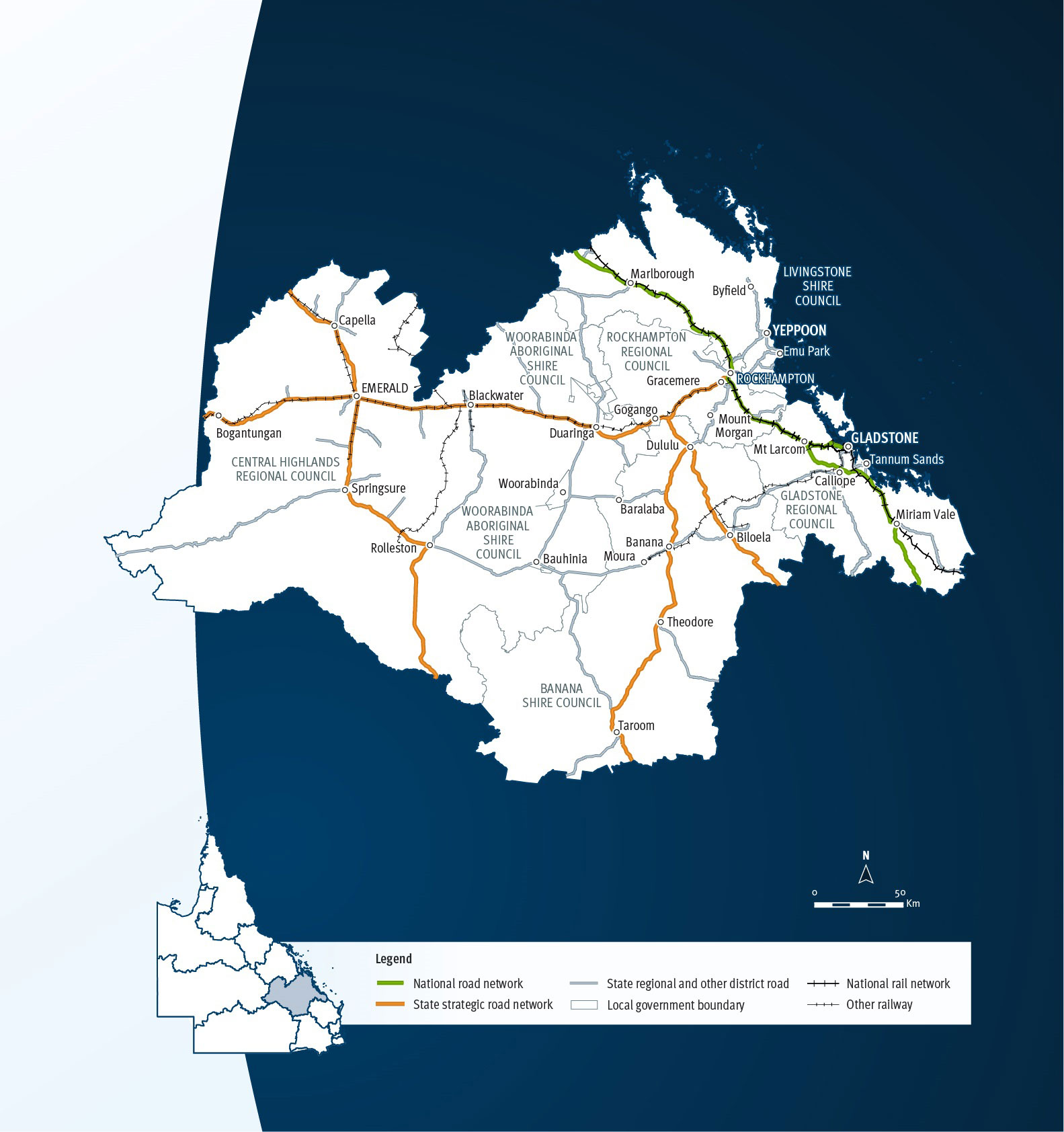
Fitzroy
Key facts
Area covered by location1
Population of Queensland1
Other state-controlled road network
National Land Transport Network2
Program Highlights
Our top investments include:
- $1.73 billion Rockhampton Ring Road (jointly funded with the Australian Government).
- $250 million funding commitment for Bruce Highway, Gladstone to Rockhampton (jointly funded with the Australian Government).
- $125 million funding commitment for Access to Gladstone Port, improve heavy vehicle access (jointly funded with the Australian Government).
- $122 million Rockhampton - Yeppoon Road, Yeppoon Road upgrade (jointly funded with the Australian Government).
- $75 million funding commitment for Capricorn Highway (Emerald - Alpha) (Package 1), strengthen and widen pavement (jointly funded with the Australian Government).
- $37.6 million Bruce Highway (Rockhampton - St Lawrence) and Bolsover Street, upgrade intersection (jointly funded with the Australian Government).
- $33.4 million Rockhampton Railyards, rail maintenance, manufacturing and logistics centre.
- $25.5 million funding commitment for Dawson Developmental Road (Springsure - Tambo), priority upgrades (jointly funded with the Australian Government).
- $24 million Capricorn Highway (Duaringa - Emerald), undertake road safety improvements (jointly funded with the Australian Government).
- $19.6 million funding commitment for Capricorn Highway (Emerald - Alpha) (Package 3), strengthen and widen pavement (jointly funded with the Australian Government).
Investments (interactive)
You can view the list of investments for the Fitzroy area via the QTRIP interactive tool or in the QTRIP PDF.
Map