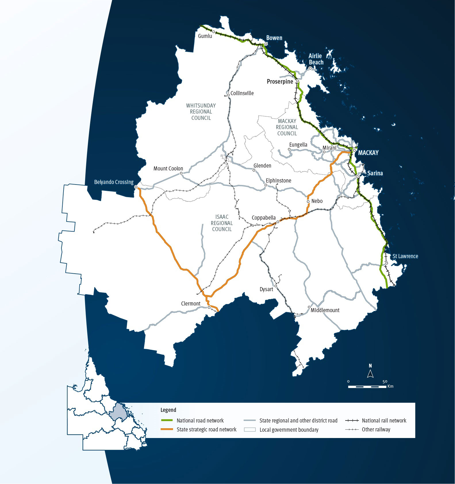
Mackay Whitsunday
Key facts
Area covered by location1
Population of Queensland1
Other state-controlled road network
National Land Transport Network2
Program Highlights
Our top investments include:
- $497.4 million Mackay Ring Road (Stage 1) (jointly funded with the Australian Government).
- $470 million Bruce Highway (Mackay - Proserpine) O'Connell River to Proserpine (Goorganga Floodplain), upgrade flood immunity (jointly funded with the Australian Government).
- $350 million funding commitment for Mackay Port Access, Bruce Highway to Mackay - Slade Point Road (Stage 1) (jointly funded with the Australian Government).
- $39.7 million Proserpine - Shute Harbour Road, Paluma Road to Valley Drive (Cannonvale), duplicate to four lanes (jointly funded with the Australian Government).
- $34 million Proserpine - Shute Harbour Road, Valley Drive to Tropic Road (Cannonvale), duplicate to four lanes.
- $30 million Bruce Highway (Mackay - Proserpine), Goorganga overtaking lanes (jointly funded with the Australian Government).
- $24 million Proserpine - Shute Harbour Road, Hamilton Plains, flood immunity upgrade (jointly funded with the Australian Government).
- $20 million May Downs Road, pave and seal (jointly funded with the Australian Government).
- $18 million Saraji Road, Phillips Creek, replace bridge (jointly funded with the Australian Government).
- $15 million Bruce Highway (Mackay - Proserpine), Goorganga Plains, plan and preserve (jointly funded with the Australian Government).
Investments (interactive)
You can view the list of investments for the Mackay Whitsunday area via the QTRIP interactive tool or in the QTRIP PDF.
Map