
Maroochydore Road, Pike Street and Killick Street intersection upgrade, design
The department has developed a preferred option for staged improvements to Maroochydore Road, Kunda Park to improve safety and relieve congestion...
The department has developed a preferred option for staged improvements to Maroochydore Road, Kunda Park to improve safety and relieve congestion...

This project involves preparing a business case to upgrade the immunity of the Bruce Highway at the Goorganga and Myrtle Creek floodplains, located 4kms south and 6kms north of Proserpine...
The project will deliver safety upgrades to almost 6 kilometres of the Bruce Highway between the Bowen Connection Road and Champion Street intersections. Additionally, the Bruce Highway and Don Street...
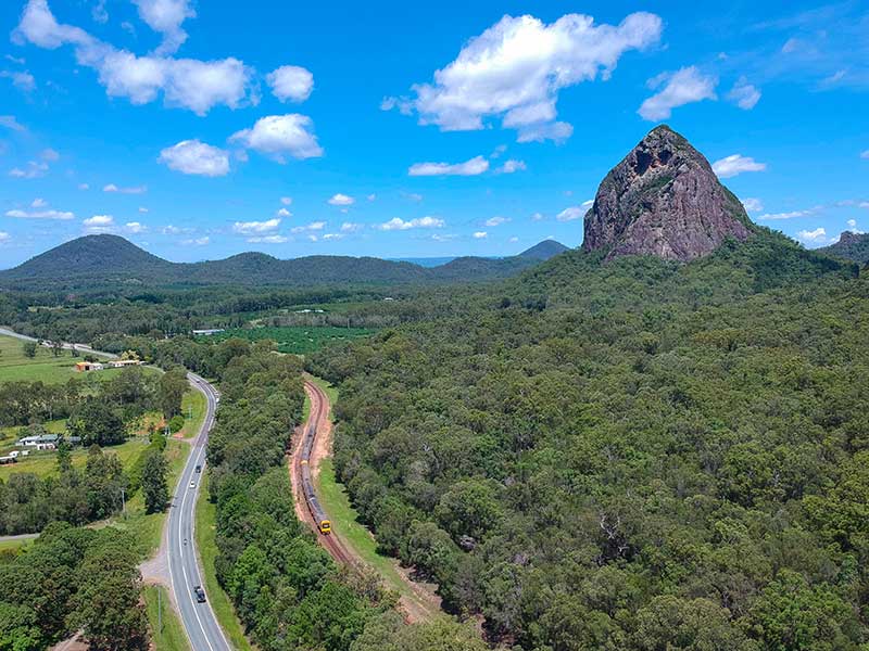
The Beerburrum to Nambour Rail Upgrade (B2N) project covers about 40km of the North Coast Line...
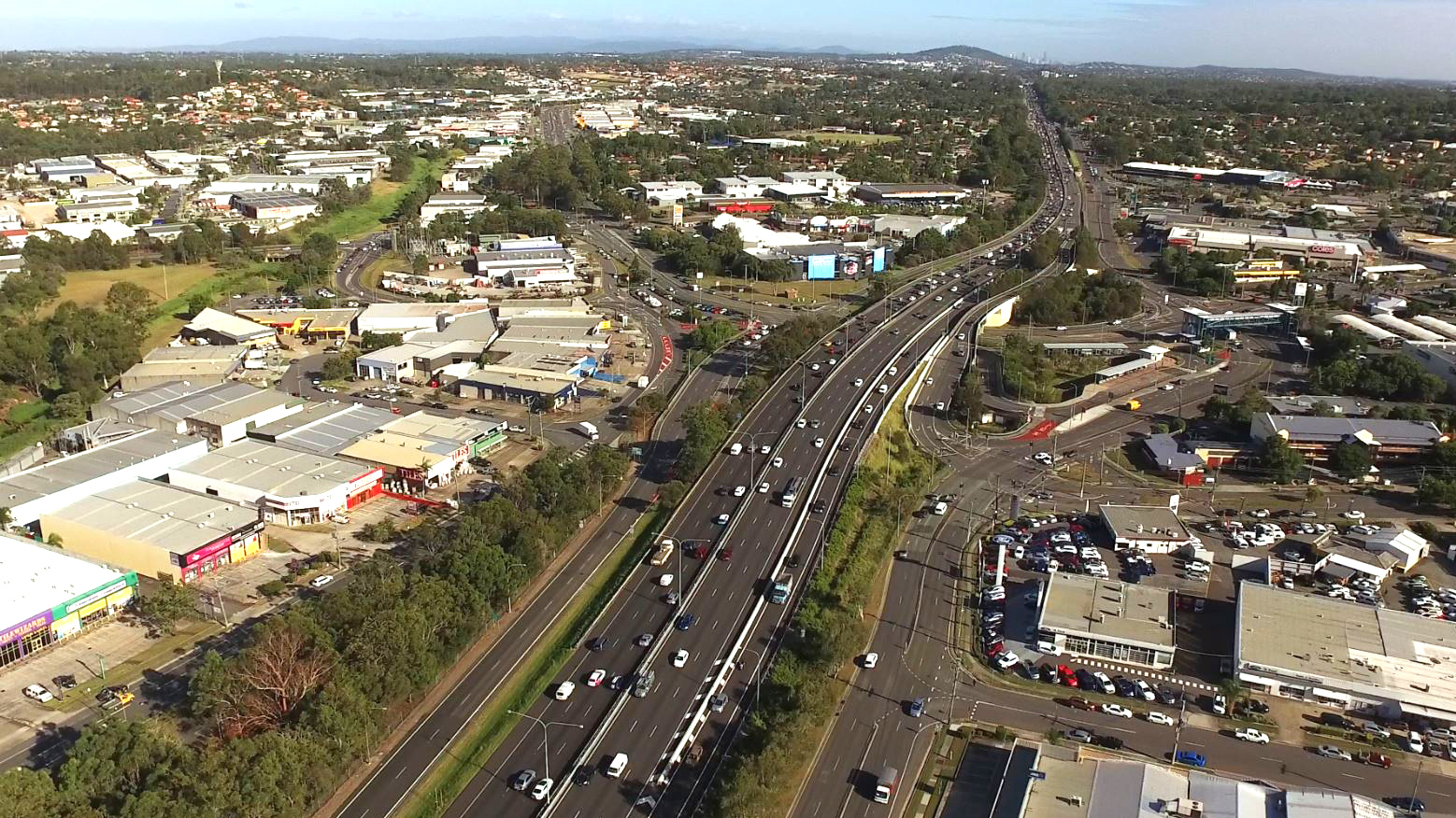
We have completed early planning to determine future upgrade needs for the Bruce Highway between the Sunshine Motorway and Maroochydore Road...
The Gowrie to Grandchester Rail Corridor Study investigated a rail corridor that would help mitigate the constraints on rail operations caused by the Toowoomba and Little Liverpool Range crossings...
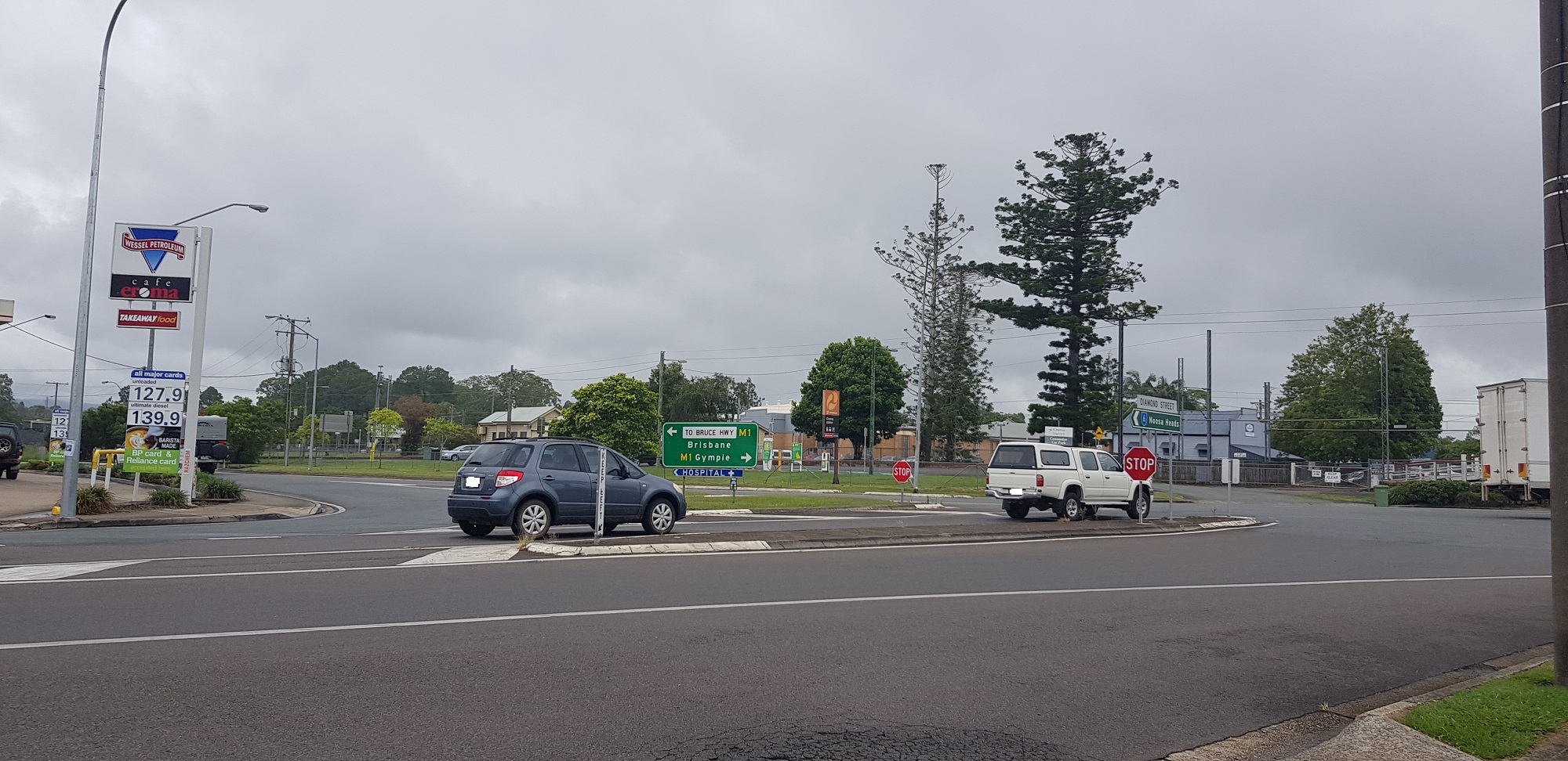
We are finalising planning for the upgrade of the intersections at Diamond and Elm Streets and Myall and Elm Streets at Cooroy...
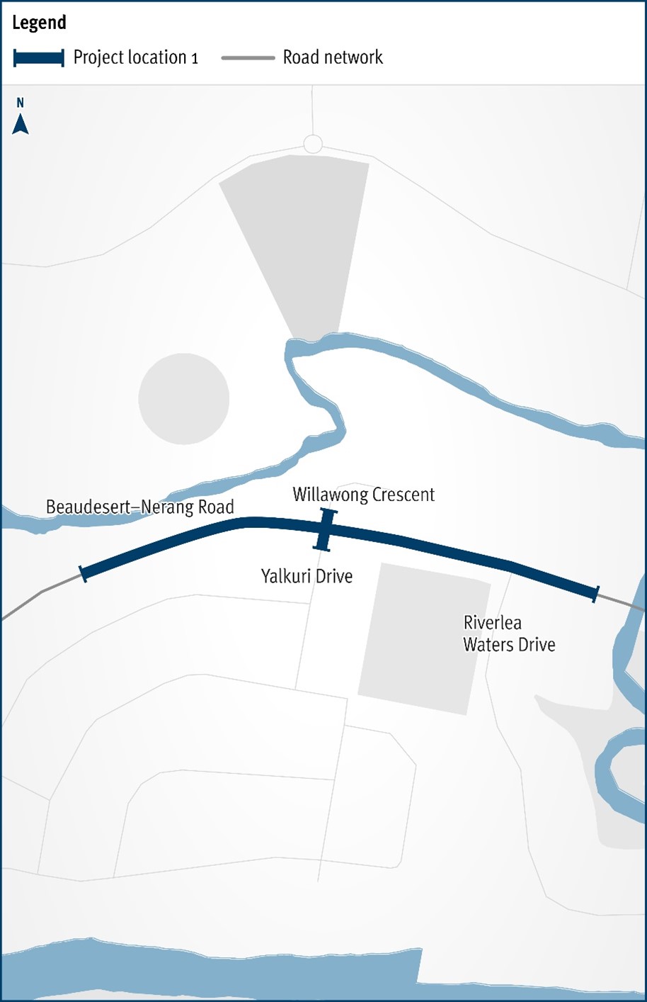
The Department of Transport and Main Roads will be improving the safety and efficiency of the Beaudesert–Nerang Road, Yalkuri Drive and Willawong Crescent intersection at Nerang...
We have started work on the business case for the Pacific Motorway (M1) – Daisy Hill to Logan Motorway upgrade...
Interactive map for Mount Lindesay Highway 10 year investment plan...