Showing results 11-20 of 29

Sort results
Sort results
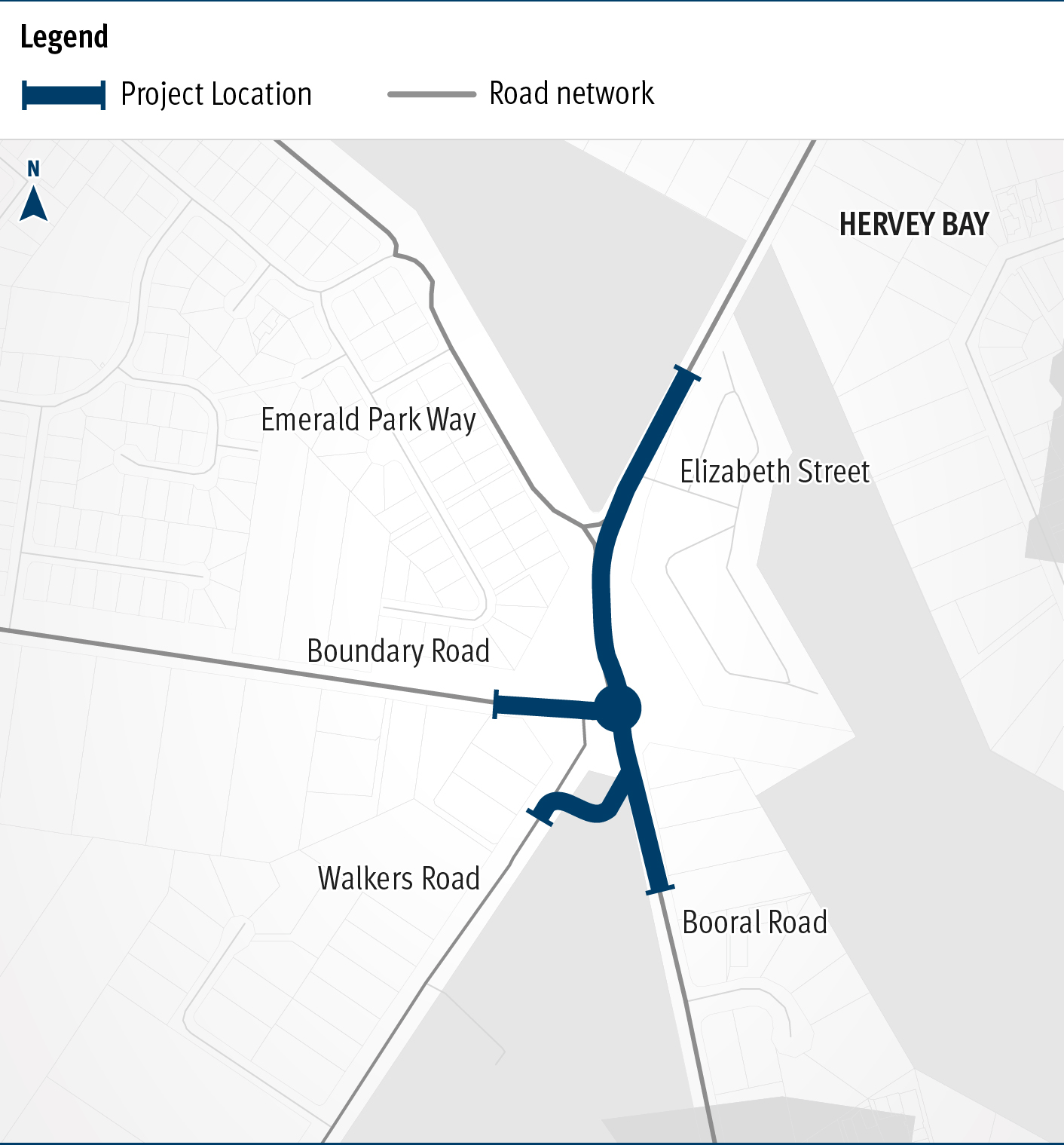
  1. Booral Road and Boundary Road (Urangan), intersection upgrade

    Detailed design is underway for a proposed upgrade of the Booral Road and Boundary Road intersection...

    The map shows the locality of the proposed Booral Road and Boundary Road intersection upgrade. Hervey Bay is located north-east of the project location. A solid blue line indicates the project extent, which encompasses the Booral Road and Boundary Road intersection, and also extends along Booral Road to the north past the Emerald Park Way intersection and to the south along Booral Road past the proposed new Walkers Road intersection. Walkers Road has been realigned to access Booral Road to the south of the Booral Road and Boundary Road intersection. The local road network, including where Booral Road turns into Elizabeth Street, is also highlighted on the map.
  2. Cairns Western Arterial Road, Redlynch Connector Road to Captain Cook Highway, duplication

    The department is undertaking a $300 million project is being undertaken to duplicate the Cairns Western Arterial Road between Redlynch Connector Road and Captain Cook Highway...

  3. Caboolture-Bribie Island Road, Old Toorbul Point Road to Saint Road

    The Queensland Government is finalising planning for the duplication of Caboolture-Bribie Island Road between Old Toorbul Point Road and Saint Road, including signalisation of the Volz Road...

    Side of Old Toorbul Point Road
  4. Caboolture-Bribie Island Road, Hickey Road to King Johns Creek

    The department is undertaking planning for the future duplication of Caboolture-Bribie Island Road between King Johns Creek and Hickey Road...

    Hickey Road
  5. Gympie – Brooloo Road, design active transport crossings

    Detailed design is underway for active transport bridge structures and pathway to provide connectivity of the Principal Cycle Network from Gympie's southside into the Gympie CBD and surrounds...

    No image supplied
  6. David Low Way cycle facility

    On-road bicycle lanes are being constructed to improve safety at Marcoola and Mudjimba...

    No image supplied
  7. Cannon Hill Shopping Centre bus facility, design bus station

    The bus station at Cannon Hill Shopping Centre will be upgraded...

    No image supplied
  8. Bruce Highway (Gympie – Maryborough), Tiaro Bypass, construct four lane bypass

    We are improving flood immunity, safety and efficiency on the Bruce Highway at Tiaro...

    No image supplied
  9. Pialba–Burrum Heads Road, O’Regan Creek, upgrade existing floodway

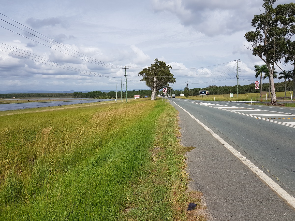
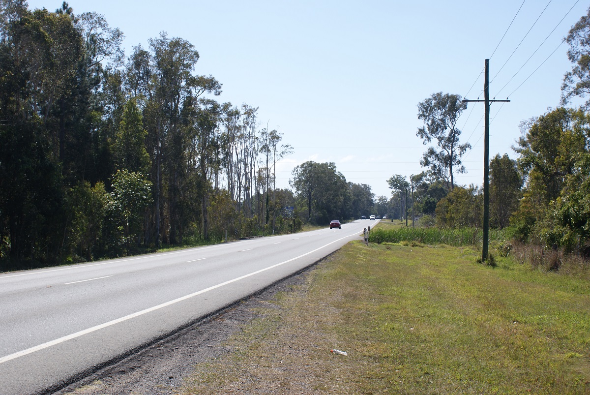
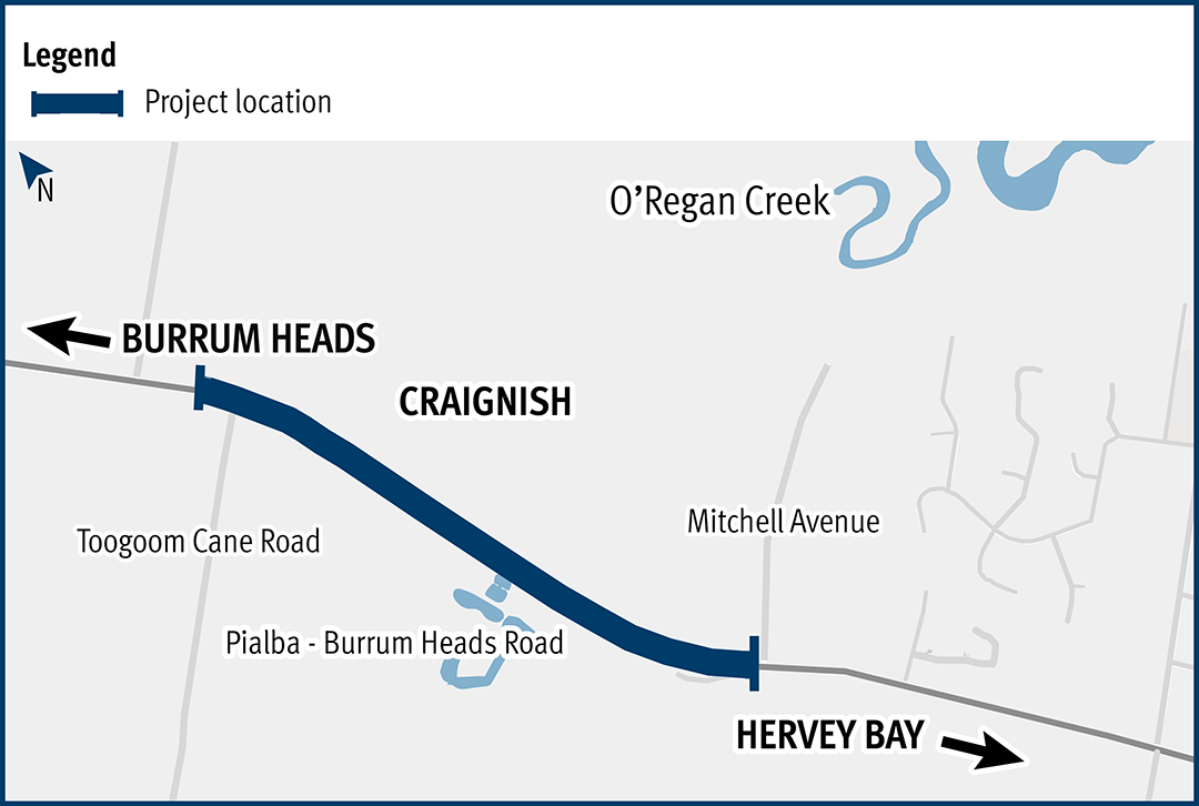
    This project aims to improve the flood immunity and reduce flood closure times at the Pialba–Burrum Heads Road crossing...

    Pialba–Burrum Heads Road, O’Regan Creek, upgrade existing floodway project location map
  10. Toowoomba–Cecil Plains Road, improve safety

    The project will design safety upgrades on Toowoomba–Cecil Plains Road...

    No image supplied