
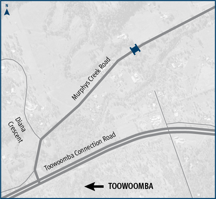
Murphys Creek Road, Rocky Creek Bridge, replace bridge
The Department of Transport and Main Roads is replacing Rocky Creek bridge on Murphys Creek Road at Postmans Ridge, with a two-lane concrete bridge...
The Department of Transport and Main Roads is replacing Rocky Creek bridge on Murphys Creek Road at Postmans Ridge, with a two-lane concrete bridge...
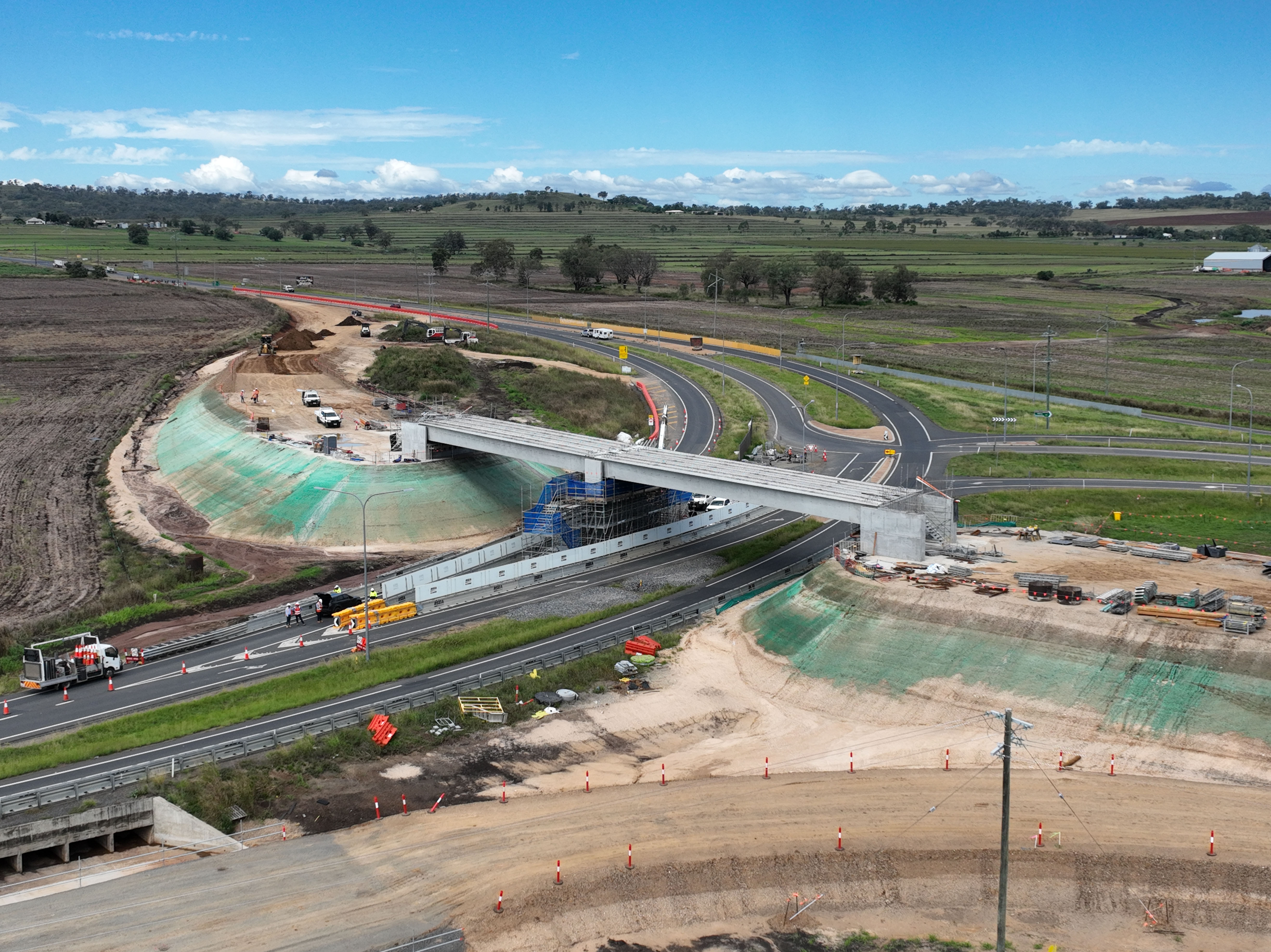
The Eight Mile intersection upgrade will improve safety and transport efficiency for road users in the area...
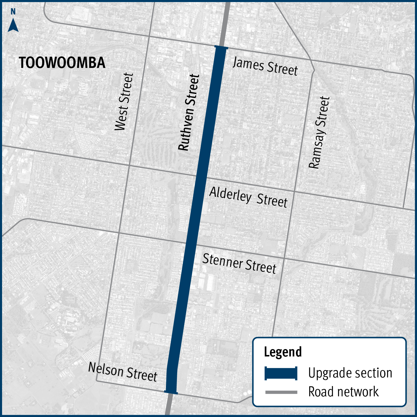
Improving safety and reduce the risk of crashes on Ruthven Street in Toowoomba’s south, between James and Nelson streets...
This planning project is investiged options to improve the safety and efficiency of the New England Highway south of Toowoomba, between Hodgson Creek and Cambooya Connection Road...

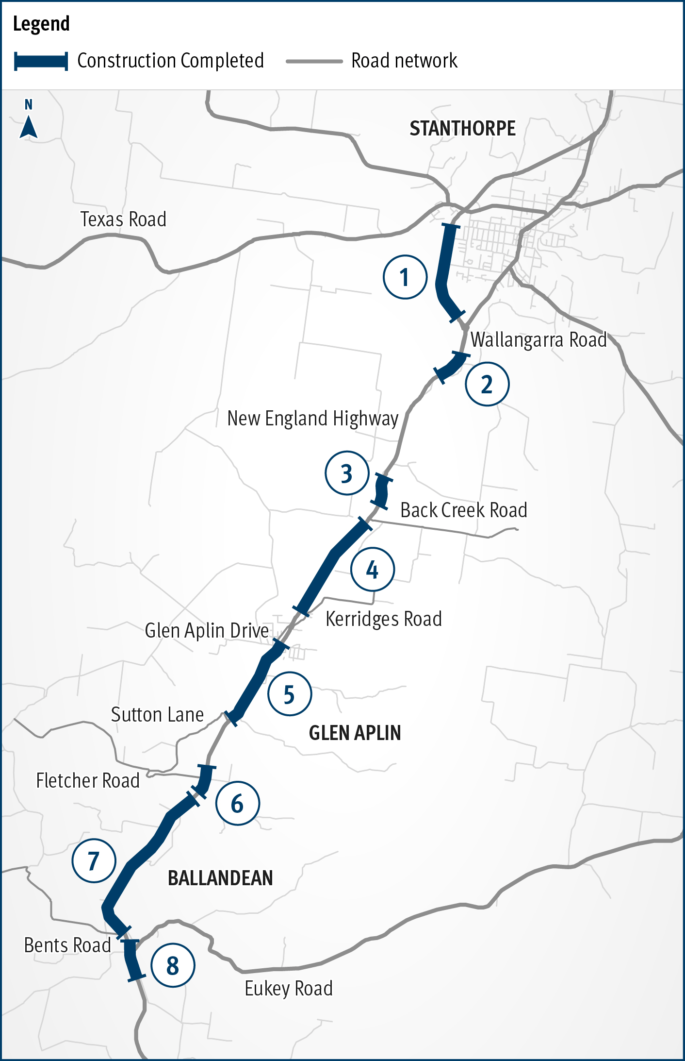
New England Highway Warwick to Wallangarra safety improvements...
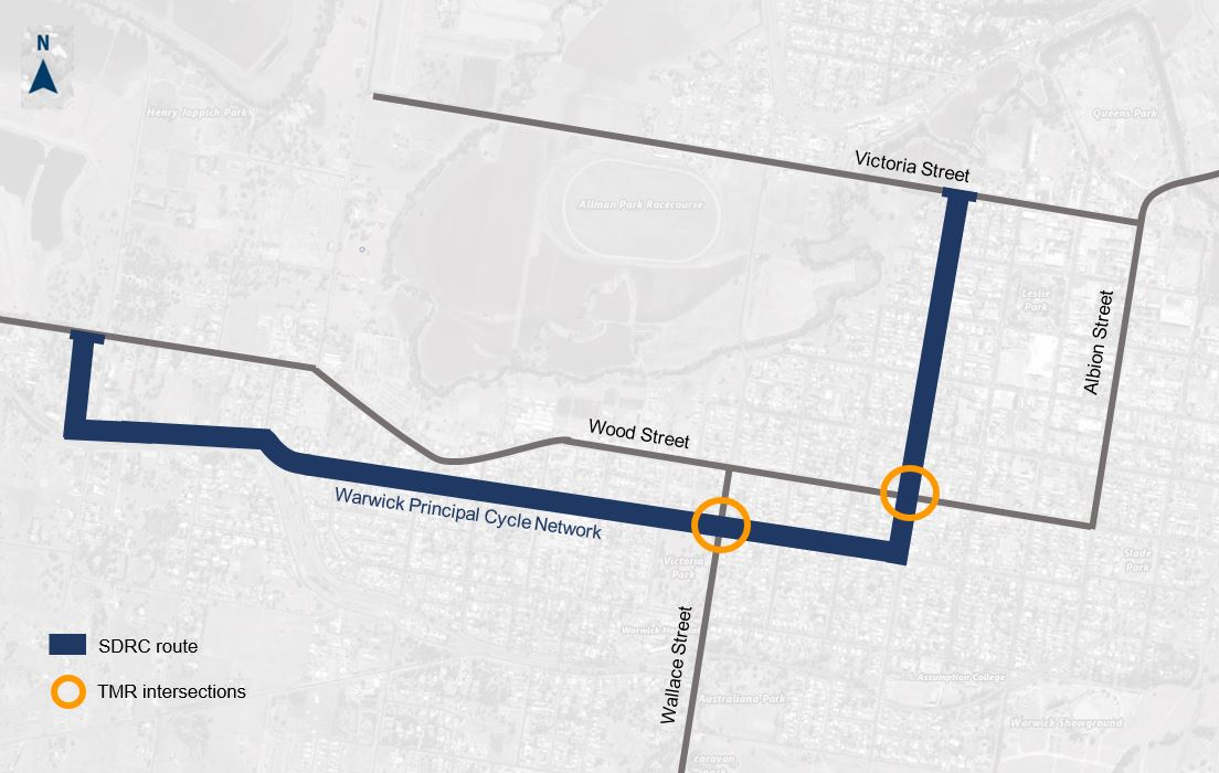
The planning project will establish a long-term vision to provide fit-for-purpose bike facilities along a desirable principal bike route in Warwick that encourages more people to ride more often...
Pavement widening on the Barwon Highway has been completed to improve road safety, reduce ongoing maintenance...