Showing results 11-20 of 69

Sort results
Sort results
  1. Cunningham Highway (Ipswich – Warwick), 2020 Disaster Recovery Funding Arrangements reconstruction works

    Following extensive damage from the Southern Queensland bushfires at Cunninghams Gap in November and December 2019, TMR is working to restore pre-bushfire functionality to the Cunningham Highway at...

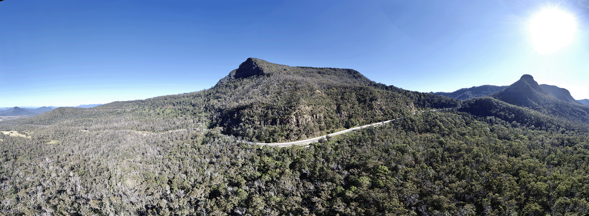
    Aerial image of Cunningham Highway at Cunninghams Gap
  2. Bethania train station upgrade

    We're upgrading the Bethania train station to improve accessibility, safety, and overall customer experience as part of the Logan and Gold Coast Faster Rail project...

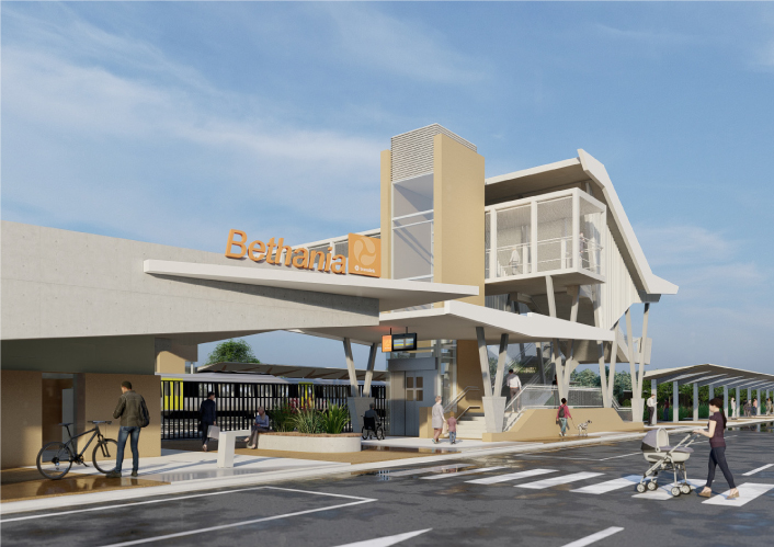
    Artist impression of the Bethania train station from street view.
  3. Beenleigh train station upgrade

    We're relocating the Beenleigh train station to improve accessibility, safety, and overall customer experience as part of the Logan and Gold Coast Faster Rail project...

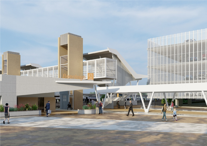
    Artist impression of Beenleigh Train station showing carpark, pedestrian overpass and lift and stair access.
  4. Woodridge train station upgrade

    We're upgrading the Woodridge train station to improve accessibility, safety, and overall customer experience as part of the Logan and Gold Coast Faster Rail project...

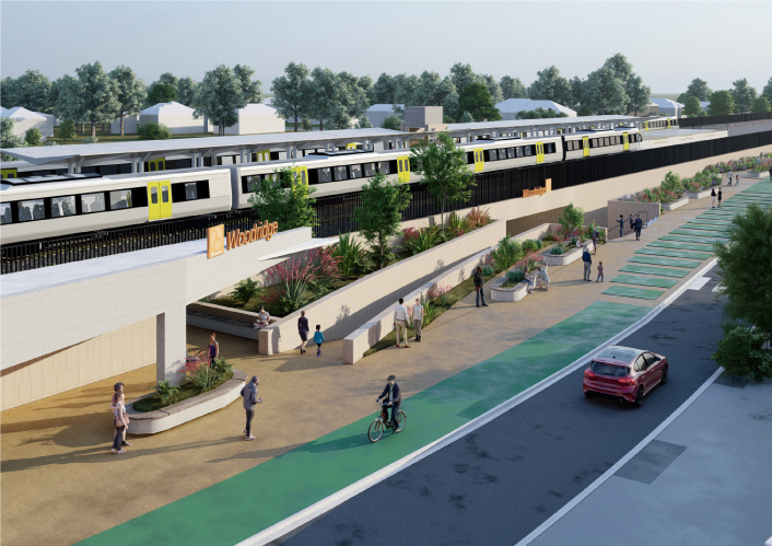
    Artist impression of the proposed upgraded Woodridge station with the Translink logo and Woodridge sign on the front. Image is looking from Station Road and shows the new wider underpass with people out the front of the new station building and trains pulled up at the platforms.
  5. Coomera Connector Stage 1 Central

    Coomera Connector (Stage 1) is around 16km long and will be delivered in 3 construction packages. Stage 1 Central, which is currently in the design phase, is the 8km section from Helensvale Road to...

    No image supplied
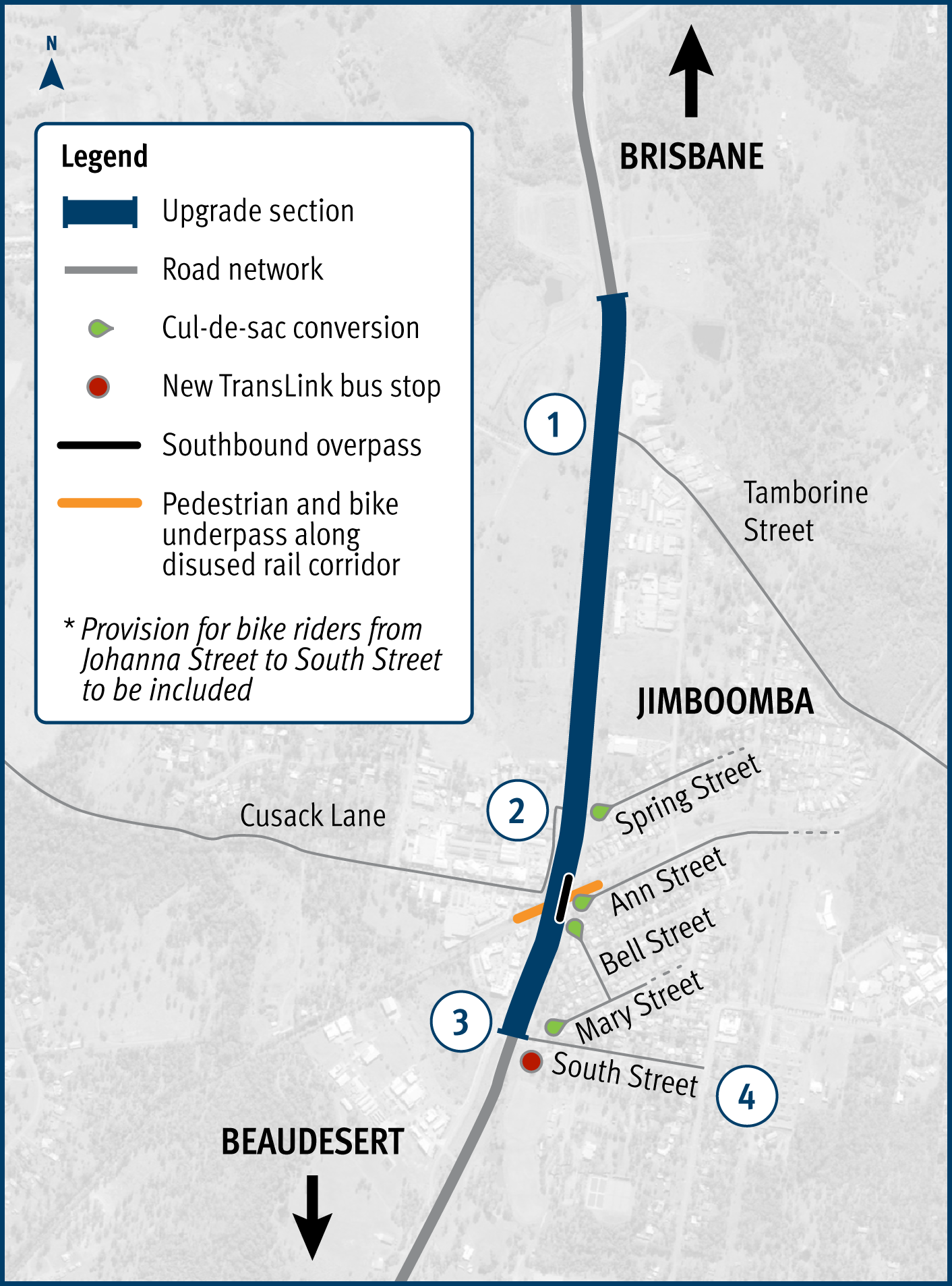
  6. Mount Lindesay Highway (Brisbane - Beaudesert), Johanna Street to South Street (Jimboomba), duplication

    The Mount Lindesay Highway at Jimboomba will be upgraded to improve safety, reduce congestion and improve shared path connectivity...

    Project map with number 1-4 on it. 1 – Intersection upgrade (Johanna Street) 2 – Intersection reconfigured (Spring Street) 3 – Intersection improvements (South Street) 4 – South Street, local road improvements (council works)
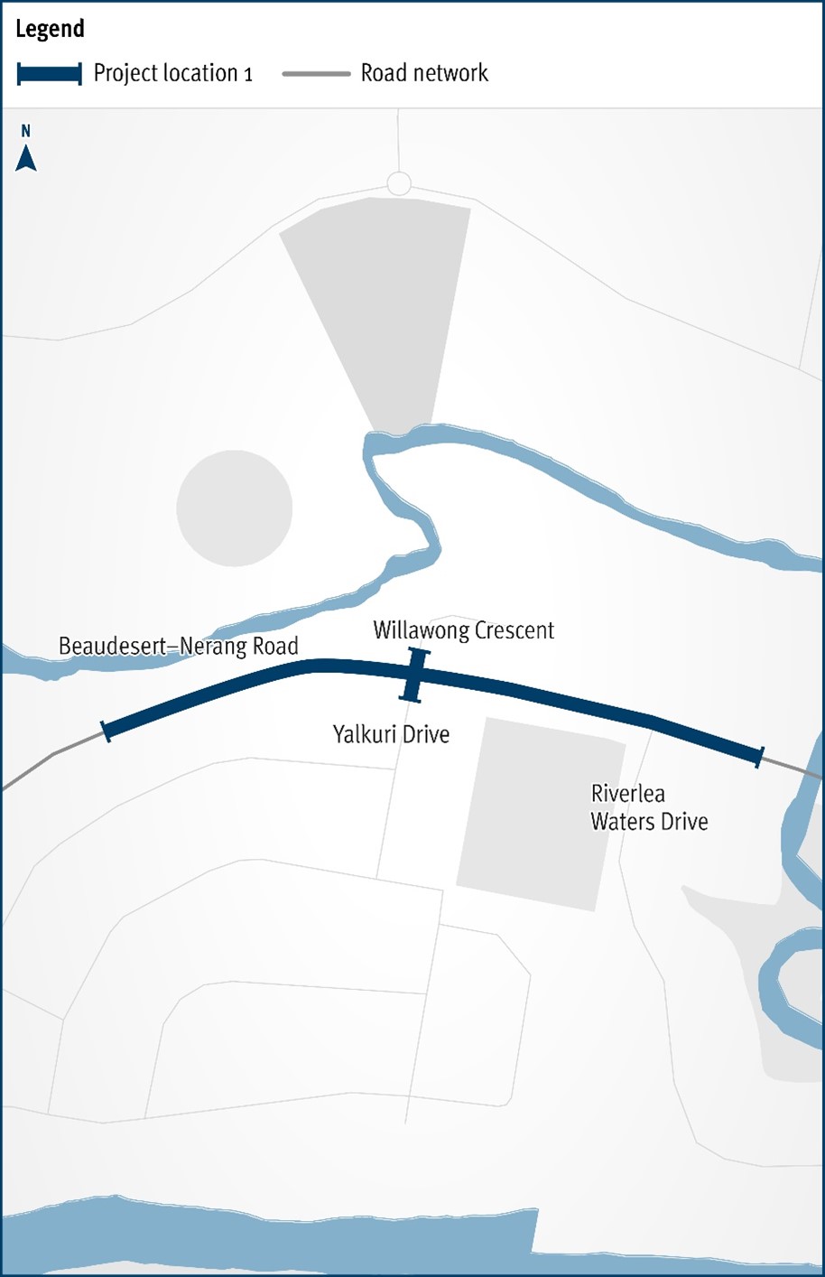
  7. Beaudesert – Nerang Road and Yalkuri Drive, upgrade intersection

    The Department of Transport and Main Roads will be improving the safety and efficiency of the Beaudesert–Nerang Road, Yalkuri Drive and Willawong Crescent intersection at Nerang...

    The map shows the locality of the proposed Beaudesert-Nerang Road, Yalkuri Drive and Willawong Crescent intersection upgrade. Beaudesert is located to the west and Nerang to the east of the project location. A solid dark blue line indicates the project extent, which encompasses Yalkuri Drive south of the intersection and Willawong Crescent north of the intersection, as well as Beaudesert–Nerang Road, which is located west and east of the intersection. The local road network, Riverlea Waters Drive is also highlighted on the map.
  8. Currumbin Creek Road – Bienvenue Drive intersection upgrade

    The proposed upgrade of the intersection of Currumbin Creek Connection Road (Currumbin Creek Rd) and Bienvenue Drive / Mainsail Street, at Currumbin Waters...

    No image supplied
  9. Pacific Motorway (M1) – Daisy Hill to Logan Motorway upgrade

    We have started work on the business case for the Pacific Motorway (M1) – Daisy Hill to Logan Motorway upgrade...

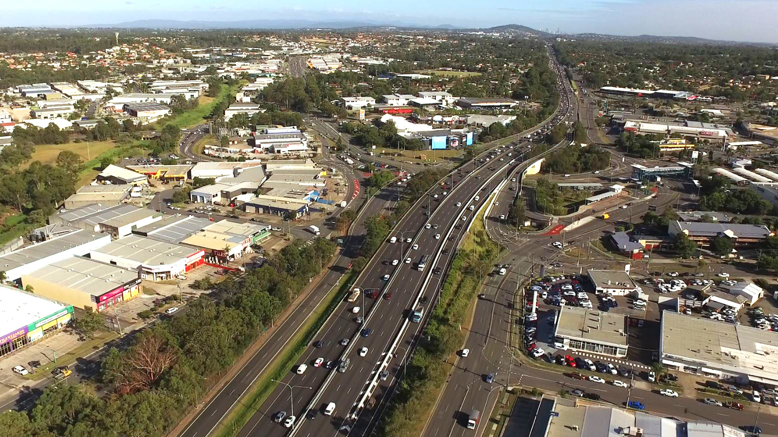
    Aerial view of Pacific Motorway through Springwood
  10. Mount Lindesay Highway Upgrade Program

    Interactive map for Mount Lindesay Highway 10 year investment plan...

    No image supplied