Showing results 1-4 of 4

Sort results
Sort results
  1. Booral Road, Bunya Creek floodway and Main Street intersection upgrade, planning

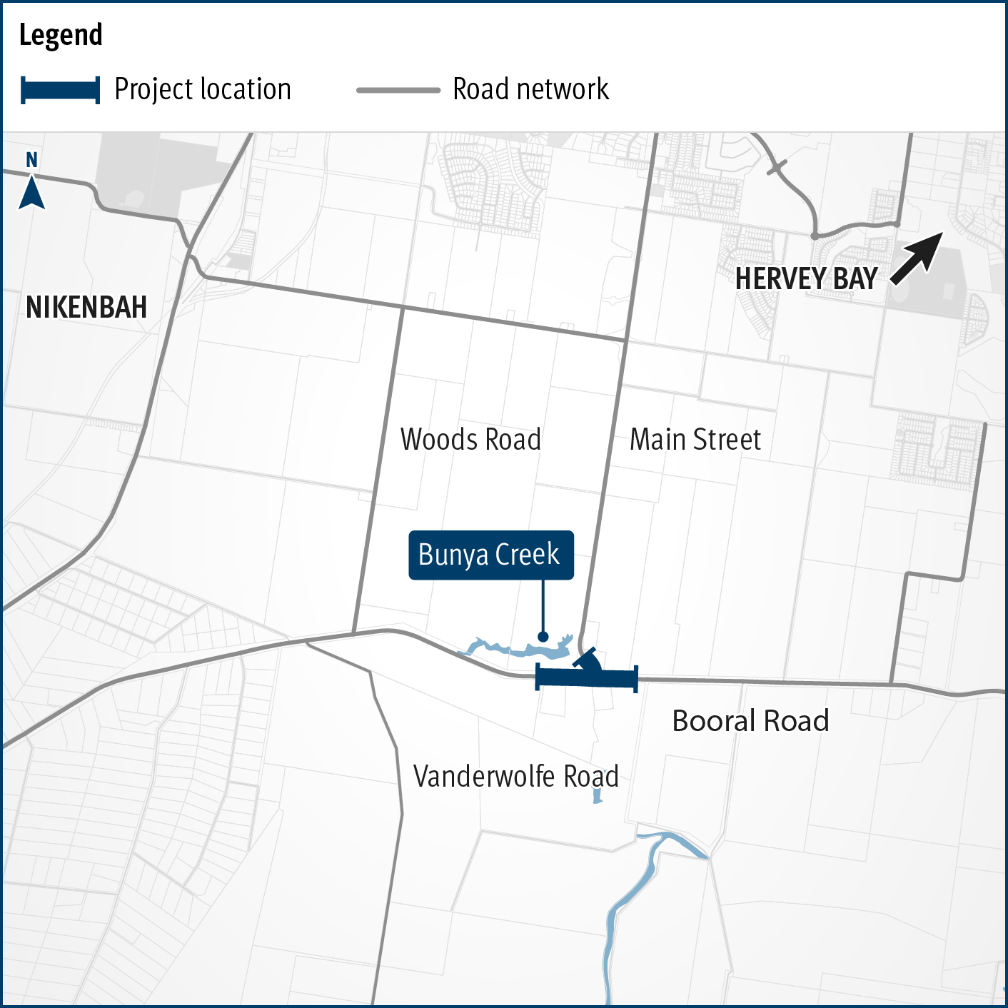
    Planning is underway to improve flood immunity and safety on a section of Booral Road at Bunya Creek, including the Main Street intersection...

    Alternative text: The map shows the locality of the proposed Booral Road, Bunya Creek floodway and Main Street intersection upgrade. Nikenbah is located to the north and Hervey Bay to the north-east. Bunya Creek is located just north west of the proposed project location. A solid dark blue line indicates the project extent, which encompasses the Booral Road and Main Street intersection as well as the Bunya Creek floodway along Booral Road, which is located just west of the intersection. The local road network, including Woods Road and Vanderwolfe Road are also highlighted on the map.
  2. Maryborough-Hervey Bay Road, Ibis Boulevard and Fairway Drive, intersection upgrade, business case

    Maryborough-Hervey Bay Road/Ibis Boulevard/Fairway Drive intersection upgrade...

    No image supplied
  3. Bundaberg Integrated Transport Strategy, planning

    The project will develop a strategic level transport plan for local and state roads in the Bundaberg Regional Council area...

    No image supplied
  4. Brisbane to Sunshine Coast Rail Corridor Strategy

    The department is developing a strategy for future rail projects between Brisbane and Gympie North...

    No image supplied